Previously St. Mark's Church, Cheetham Hill
Introduction
The photograph on this page of Previously St. Mark's Church, Cheetham Hill by Tricia Neal as part of the Geograph project.
The Geograph project started in 2005 with the aim of publishing, organising and preserving representative images for every square kilometre of Great Britain, Ireland and the Isle of Man.

There are currently over 7.5m images from over 14,400 individuals and you can help contribute to the project by visiting https://www.geograph.org.uk
Previously St. Mark's Church, Cheetham Hill
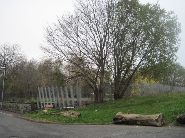
Image: © Tricia Neal Taken: 20 Nov 2011
St. Mark's was built in 1794 and demolished in 1998. When submitting these pictures I found the outline of the church still shows on the Geograph map, which was useful as I hadn't known for sure exactly where the church stood. An article pre-dating the building says: "Such was the spiritual destitution of the benighted folks of Cheetham Hill, Crumpsall, and Broughton that between the ancient parish churches of Prestwich and Manchester there was neither a place for the solemnisation of divine worship nor for the interment of the dead." All that is left now is a lot of litter, flattened gravestones and a few battered memorials. This view is taken approaching the area along Copthall Lane, off Cheetham Hill Road.
Images are licensed for reuse under creativecommons.org/licenses/by-sa/2.0
Image Location
Latitude
53.51119
Longitude
-2.245751