Unity Chapel, Bristol
Introduction
The photograph on this page of Unity Chapel, Bristol by Jaggery as part of the Geograph project.
The Geograph project started in 2005 with the aim of publishing, organising and preserving representative images for every square kilometre of Great Britain, Ireland and the Isle of Man.

There are currently over 7.5m images from over 14,400 individuals and you can help contribute to the project by visiting https://www.geograph.org.uk
Unity Chapel, Bristol
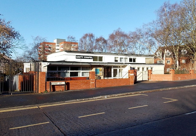
Image: © Jaggery Taken: 29 Dec 2013
Unity Chapel is an evangelical church on the corner of Romney Avenue and Morris Road.
Images are licensed for reuse under creativecommons.org/licenses/by-sa/2.0
Image Location
Latitude
51.482099
Longitude
-2.571654