OS Flush Bracket G1460 - Hemsby
Introduction
The photograph on this page of OS Flush Bracket G1460 - Hemsby by Richard Law as part of the Geograph project.
The Geograph project started in 2005 with the aim of publishing, organising and preserving representative images for every square kilometre of Great Britain, Ireland and the Isle of Man.

There are currently over 7.5m images from over 14,400 individuals and you can help contribute to the project by visiting https://www.geograph.org.uk
OS Flush Bracket G1460 - Hemsby
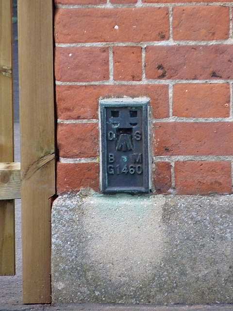
Image: © Richard Law Taken: 11 Sep 2013
Flush Bracket G1460 on the east wall of Hemsby First School; this was originally levelled at 23' 3/4" above Ordnance Datum Newlyn during the 2nd Geodetic Levelling, between 1946 - 1951.
Images are licensed for reuse under creativecommons.org/licenses/by-sa/2.0
Image Location
Latitude
52.696763
Longitude
1.687519