Gilray Close, Bristol
Introduction
The photograph on this page of Gilray Close, Bristol by Jaggery as part of the Geograph project.
The Geograph project started in 2005 with the aim of publishing, organising and preserving representative images for every square kilometre of Great Britain, Ireland and the Isle of Man.

There are currently over 7.5m images from over 14,400 individuals and you can help contribute to the project by visiting https://www.geograph.org.uk
Gilray Close, Bristol
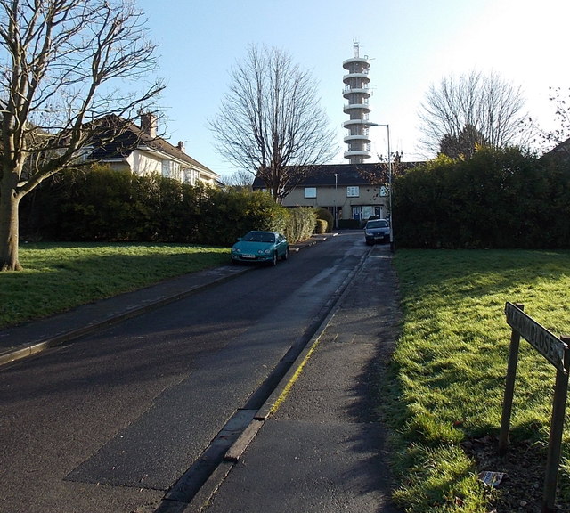
Image: © Jaggery Taken: 29 Dec 2013
Gilray Close is a 70 metre long cul-de-sac on the SE side of Romney Avenue. Visible from a wide area, a telecommunications tower on Pur Down is in the background.
Images are licensed for reuse under creativecommons.org/licenses/by-sa/2.0
Image Location
Latitude
51.486091
Longitude
-2.564215