Track that becomes a byway
Introduction
The photograph on this page of Track that becomes a byway by Chris as part of the Geograph project.
The Geograph project started in 2005 with the aim of publishing, organising and preserving representative images for every square kilometre of Great Britain, Ireland and the Isle of Man.

There are currently over 7.5m images from over 14,400 individuals and you can help contribute to the project by visiting https://www.geograph.org.uk
Track that becomes a byway
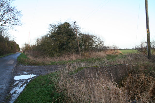
Image: © Chris Taken: 2 Jan 2014
The track turns into a byway, and has a separate entry point onto the byway section further up the road.
Images are licensed for reuse under creativecommons.org/licenses/by-sa/2.0
Image Location
Latitude
53.340764
Longitude
0.15705