Low Farmhouse, Womersley
Introduction
The photograph on this page of Low Farmhouse, Womersley by Alan Murray-Rust as part of the Geograph project.
The Geograph project started in 2005 with the aim of publishing, organising and preserving representative images for every square kilometre of Great Britain, Ireland and the Isle of Man.

There are currently over 7.5m images from over 14,400 individuals and you can help contribute to the project by visiting https://www.geograph.org.uk
Low Farmhouse, Womersley
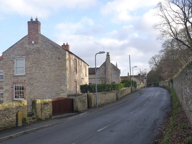
Image: © Alan Murray-Rust Taken: 27 Dec 2013
Probably late 17th century, in magnesian limestone rubble with ashlar quoins. Listed Grade II for group value. There is a bench mark http://www.geograph.org.uk/photo/3799476 on the right hand gatepost of the driveway gate.
Images are licensed for reuse under creativecommons.org/licenses/by-sa/2.0
Image Location
Latitude
53.665523
Longitude
-1.199208