A view of Housley, Foolow and a sinkhole
Introduction
The photograph on this page of A view of Housley, Foolow and a sinkhole by Peter Barr as part of the Geograph project.
The Geograph project started in 2005 with the aim of publishing, organising and preserving representative images for every square kilometre of Great Britain, Ireland and the Isle of Man.

There are currently over 7.5m images from over 14,400 individuals and you can help contribute to the project by visiting https://www.geograph.org.uk
A view of Housley, Foolow and a sinkhole
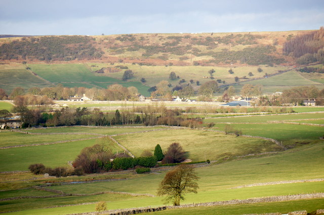
Image: © Peter Barr Taken: 2 Jan 2014
The house with the conifers is on the A623. Beyond is Foolow, and just to the left of centre, below the slope of the ridge is the sinkhole which opened up, as a result of a lot of rain, just before Christmas Day 2013. Image]
Images are licensed for reuse under creativecommons.org/licenses/by-sa/2.0
Image Location


Leaflet Map data © OpenStreetMap
Latitude
53.287737
Longitude
-1.714954