Clinch Street
Introduction
The photograph on this page of Clinch Street by Marathon as part of the Geograph project.
The Geograph project started in 2005 with the aim of publishing, organising and preserving representative images for every square kilometre of Great Britain, Ireland and the Isle of Man.

There are currently over 7.5m images from over 14,400 individuals and you can help contribute to the project by visiting https://www.geograph.org.uk
Clinch Street
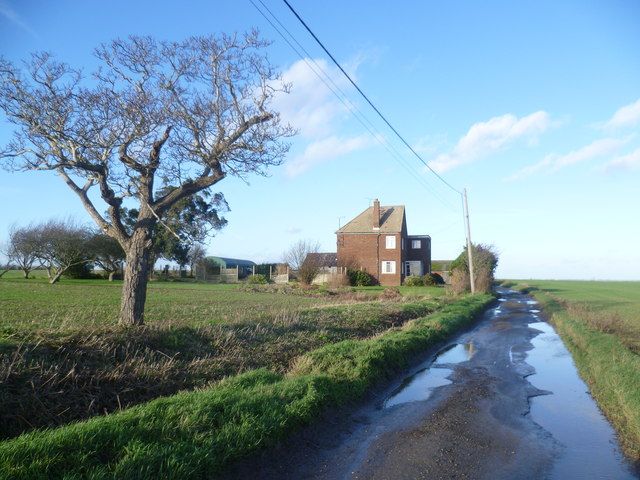
Image: © Marathon Taken: 2 Jan 2014
After several days of heavy rain over Christmas and the New Year, the roads on the Hoo Peninsula were still waterlogged, and the surrounding fields were like quagmires. This is Clinch Street looking towards Clinchstreet Farm. Clinch Street becomes Decoy Hill Road before dropping down to Halstow Marshes.
Images are licensed for reuse under creativecommons.org/licenses/by-sa/2.0
Image Location
Latitude
51.45504
Longitude
0.57497