Losehill Hall, Castleton, Derbys.
Introduction
The photograph on this page of Losehill Hall, Castleton, Derbys. by David Hallam-Jones as part of the Geograph project.
The Geograph project started in 2005 with the aim of publishing, organising and preserving representative images for every square kilometre of Great Britain, Ireland and the Isle of Man.

There are currently over 7.5m images from over 14,400 individuals and you can help contribute to the project by visiting https://www.geograph.org.uk
Losehill Hall, Castleton, Derbys.
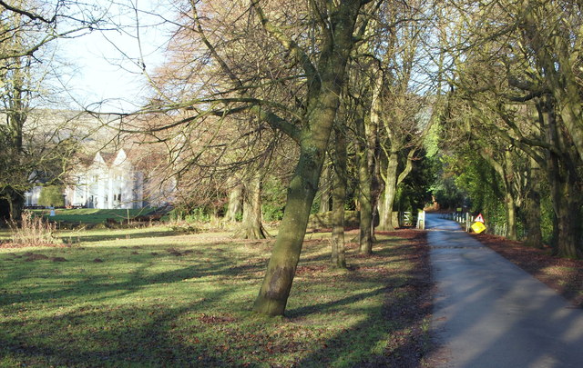
Image: © David Hallam-Jones Taken: 2 Jan 2014
Approaching the hall with the exit to the A6187 (Castleton-Hope) Road behind the photographer. The “YHA (Losehill Hall) Castleton”, as it is now known, stands in formal gardens surrounded by 27 acres of peaceful parkland containing woods and streams.
Images are licensed for reuse under creativecommons.org/licenses/by-sa/2.0
Image Location
Latitude
53.350417
Longitude
-1.769969