Losehill Hall, Castleton, Derbys.
Introduction
The photograph on this page of Losehill Hall, Castleton, Derbys. by David Hallam-Jones as part of the Geograph project.
The Geograph project started in 2005 with the aim of publishing, organising and preserving representative images for every square kilometre of Great Britain, Ireland and the Isle of Man.

There are currently over 7.5m images from over 14,400 individuals and you can help contribute to the project by visiting https://www.geograph.org.uk
Losehill Hall, Castleton, Derbys.
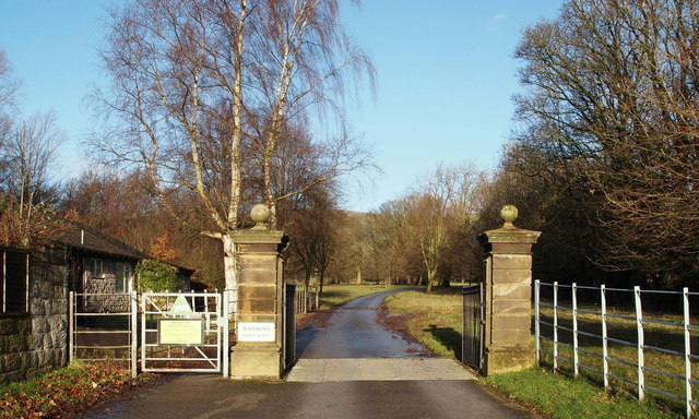
Image: © David Hallam-Jones Taken: 2 Jan 2014
The main entrance into the grounds of the Losehill Hall Youth Hostel (YHA). The land behind the photographer - on the other side of the A6187 (Hope to Castleton) Road) - has an ecclesiastical history as the likely site of a medieval leper hospital (The Hospital of Saint Mary in the Peak). The hospital of the ‘Castle of the Peak’ was reputedly founded by the wife of one of the William Peverels prior to 1153, and its development is thought to have continued until the “Dissolution of the Monasteries” (1536-1541). Sheffield University’s Department of Archaeology and members of the Castleton Historical Society have apparently been involved in exploring the site opposite these gates for the past few years.
Images are licensed for reuse under creativecommons.org/licenses/by-sa/2.0
Image Location
Latitude
53.346909
Longitude
-1.768486