Cripps Road, Cirencester, Glos
Introduction
The photograph on this page of Cripps Road, Cirencester, Glos by P L Chadwick as part of the Geograph project.
The Geograph project started in 2005 with the aim of publishing, organising and preserving representative images for every square kilometre of Great Britain, Ireland and the Isle of Man.

There are currently over 7.5m images from over 14,400 individuals and you can help contribute to the project by visiting https://www.geograph.org.uk
Cripps Road, Cirencester, Glos
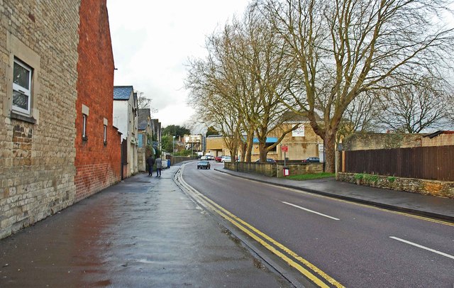
Image: © P L Chadwick Taken: 22 Dec 2013
There are various businesses along here and the road also goes to the back of a Tesco supermarket. It also gives access to the Brewery Car Park, a short-stay town centre car park.
Images are licensed for reuse under creativecommons.org/licenses/by-sa/2.0
Image Location
Latitude
51.715016
Longitude
-1.969991