Underpass and level crossing near Gascoigne Wood
Introduction
The photograph on this page of Underpass and level crossing near Gascoigne Wood by Alan Murray-Rust as part of the Geograph project.
The Geograph project started in 2005 with the aim of publishing, organising and preserving representative images for every square kilometre of Great Britain, Ireland and the Isle of Man.

There are currently over 7.5m images from over 14,400 individuals and you can help contribute to the project by visiting https://www.geograph.org.uk
Underpass and level crossing near Gascoigne Wood
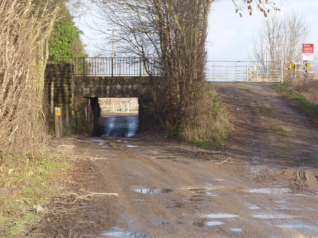
Image: © Alan Murray-Rust Taken: 27 Dec 2013
Access to Norden's Farm Barn; the level crossing provides access for large vehicles as required. The public right of way turns left alongside the railway before the bridge.
Images are licensed for reuse under creativecommons.org/licenses/by-sa/2.0
Image Location
Latitude
53.779383
Longitude
-1.223296