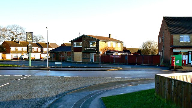
Queensfield and its pub, Swindon
Introduction
The photograph on this page of Queensfield and its pub, Swindon by Brian Robert Marshall as part of the Geograph project.
The Geograph project started in 2005 with the aim of publishing, organising and preserving representative images for every square kilometre of Great Britain, Ireland and the Isle of Man.
There are currently over 7.5m images from over 14,400 individuals and you can help contribute to the project by visiting https://www.geograph.org.uk

Image: © Brian Robert Marshall Taken: 2 Jan 2014
Sadly, the public house in the background is now closed, empty and boarded up. Queensfield itself is a typical 1960s residential development that normally would not generate much news. However, its geographical location is such that it provides an opportunity for 'rat-running' between areas to the west and the east, particularly at peak times. The local authority has introduced temporary bans on through traffic at peak hours, which inevitably pleased some and upset others. At present I'm not sure whether the ban is in place or not http://www.swindonadvertiser.co.uk/news/10350038.Don_t_bring_back_Queensfield_traffic_ban__say_residents/

