The Forge, The Length
Introduction
The photograph on this page of The Forge, The Length by John Baker as part of the Geograph project.
The Geograph project started in 2005 with the aim of publishing, organising and preserving representative images for every square kilometre of Great Britain, Ireland and the Isle of Man.

There are currently over 7.5m images from over 14,400 individuals and you can help contribute to the project by visiting https://www.geograph.org.uk
The Forge, The Length
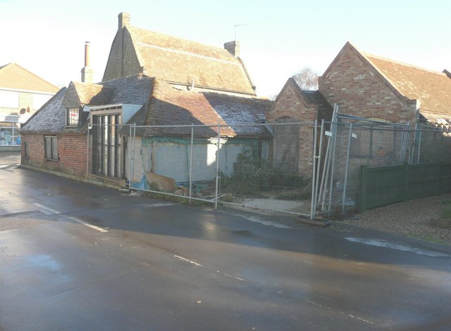
Image: © John Baker Taken: 11 Dec 2013
Seen from Manor Road, planning permission has been granted by Thanet District Council under application number L/TH/06/1050 for the “demolition of existing garage and lean-to and erection of single storey extension together with insertion of glazed wall, one roof light and internal alterations”,
Images are licensed for reuse under creativecommons.org/licenses/by-sa/2.0
Image Location
Latitude
51.35296
Longitude
1.254264