Steps up to Britannia Gardens, Stourport-on-Severn
Introduction
The photograph on this page of Steps up to Britannia Gardens, Stourport-on-Severn by P L Chadwick as part of the Geograph project.
The Geograph project started in 2005 with the aim of publishing, organising and preserving representative images for every square kilometre of Great Britain, Ireland and the Isle of Man.

There are currently over 7.5m images from over 14,400 individuals and you can help contribute to the project by visiting https://www.geograph.org.uk
Steps up to Britannia Gardens, Stourport-on-Severn
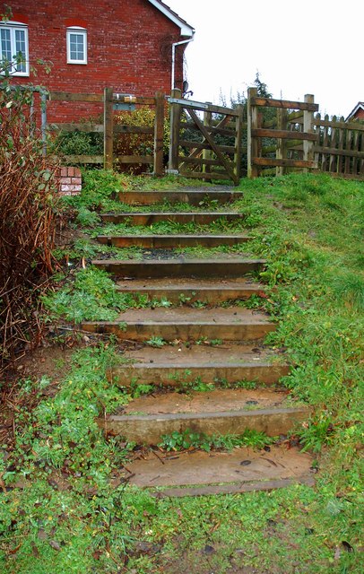
Image: © P L Chadwick Taken: 1 Jan 2014
These steps connect the area around the nearby flood lagoon with Britannia Gardens. Image
Images are licensed for reuse under creativecommons.org/licenses/by-sa/2.0
Image Location
Latitude
52.331195
Longitude
-2.27217