The Merlin, Swindon
Introduction
The photograph on this page of The Merlin, Swindon by Jaggery as part of the Geograph project.
The Geograph project started in 2005 with the aim of publishing, organising and preserving representative images for every square kilometre of Great Britain, Ireland and the Isle of Man.

There are currently over 7.5m images from over 14,400 individuals and you can help contribute to the project by visiting https://www.geograph.org.uk
The Merlin, Swindon
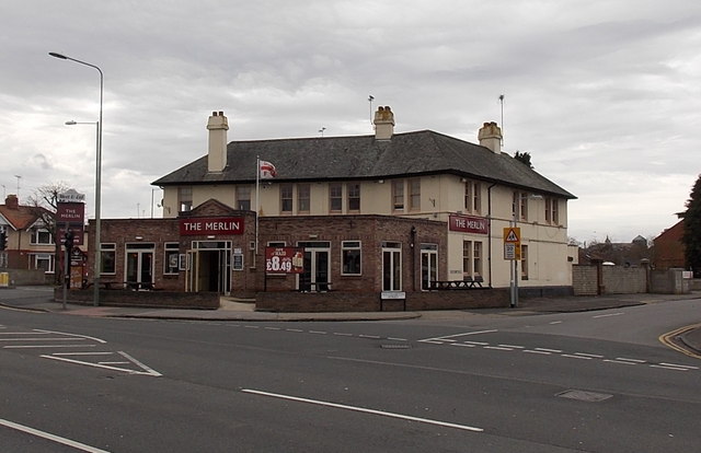
Image: © Jaggery Taken: 14 Apr 2013
Pub on the corner of Southampton Street and Groundwell Road, viewed across the B4289 Drove Road.
Images are licensed for reuse under creativecommons.org/licenses/by-sa/2.0
Image Location
Latitude
51.559969
Longitude
-1.771602