Path along north side of A69
Introduction
The photograph on this page of Path along north side of A69 by Andrew Curtis as part of the Geograph project.
The Geograph project started in 2005 with the aim of publishing, organising and preserving representative images for every square kilometre of Great Britain, Ireland and the Isle of Man.

There are currently over 7.5m images from over 14,400 individuals and you can help contribute to the project by visiting https://www.geograph.org.uk
Path along north side of A69
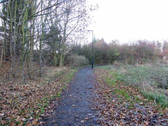
Image: © Andrew Curtis Taken: 1 Dec 2013
View west towards the waggonway line. The path provides a link across the main A69 dual carriageway via the Blucher subway Image to the North Walbottle Waggonway route on the north side of the road. The former waggonway line was broken by the building of the A69 bypass which can be followed again south of the Hexham Road in Blucher all the way to Lemington.
Images are licensed for reuse under creativecommons.org/licenses/by-sa/2.0
Image Location
Latitude
54.993046
Longitude
-1.725828