Former Lockleaze Police Station, Bristol
Introduction
The photograph on this page of Former Lockleaze Police Station, Bristol by Jaggery as part of the Geograph project.
The Geograph project started in 2005 with the aim of publishing, organising and preserving representative images for every square kilometre of Great Britain, Ireland and the Isle of Man.

There are currently over 7.5m images from over 14,400 individuals and you can help contribute to the project by visiting https://www.geograph.org.uk
Former Lockleaze Police Station, Bristol
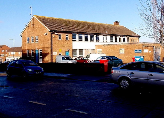
Image: © Jaggery Taken: 29 Dec 2013
Viewed across Cameron Walk. The building, near the NE corner of Gainsborough Square, is shown on maps as a police station, but there was no name sign to be seen at the late December 2013 date of this view, nor did it appear on the Avon and Somerset Constabulary's list of police stations.
Images are licensed for reuse under creativecommons.org/licenses/by-sa/2.0
Image Location


Leaflet Map data © OpenStreetMap
Latitude
51.490507
Longitude
-2.562109