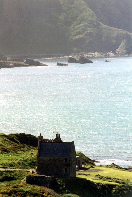
Dundarg Castle House
Introduction
The photograph on this page of Dundarg Castle House by Jo and Steve Turner as part of the Geograph project.
The Geograph project started in 2005 with the aim of publishing, organising and preserving representative images for every square kilometre of Great Britain, Ireland and the Isle of Man.
There are currently over 7.5m images from over 14,400 individuals and you can help contribute to the project by visiting https://www.geograph.org.uk

Image: © Jo and Steve Turner Taken: 20 Jun 2001
A Category B Listed castellated house built by Air Vice Marshall Carnegie in 1937-8 mostly from the Aberdour Free Church. The house is sited within a Scheduled Ancient Monument. Constructed on the site of a prehistoric promontory fort, Dundarg was a late 13th/early 14th century Castle first mentioned in 1334 when it was besieged by and fell to the Warden of Scotland, Sir Andrew de Moray in December that year. The castle was then abandoned although there is some evidence it was briefly re-fortified, perhaps in the period 1550-60.

