The east end of St Cyprian's Church
Introduction
The photograph on this page of The east end of St Cyprian's Church by Alan Murray-Rust as part of the Geograph project.
The Geograph project started in 2005 with the aim of publishing, organising and preserving representative images for every square kilometre of Great Britain, Ireland and the Isle of Man.

There are currently over 7.5m images from over 14,400 individuals and you can help contribute to the project by visiting https://www.geograph.org.uk
The east end of St Cyprian's Church
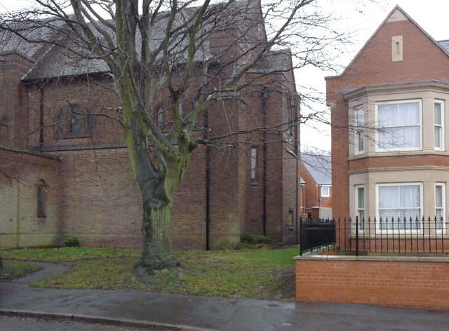
Image: © Alan Murray-Rust Taken: 1 Jan 2014
Photo taken to show the location of the bench mark http://www.geograph.org.uk/photo/3797233 which is tucked in behind the small shrub at the foot of the east wall. The whole church can be seen (more or less) here http://www.geograph.org.uk/photo/674425
Images are licensed for reuse under creativecommons.org/licenses/by-sa/2.0
Image Location
Latitude
52.964136
Longitude
-1.113365