Flooded chalk pit beneath Pitstone Hill
Introduction
The photograph on this page of Flooded chalk pit beneath Pitstone Hill by Rob Farrow as part of the Geograph project.
The Geograph project started in 2005 with the aim of publishing, organising and preserving representative images for every square kilometre of Great Britain, Ireland and the Isle of Man.

There are currently over 7.5m images from over 14,400 individuals and you can help contribute to the project by visiting https://www.geograph.org.uk
Flooded chalk pit beneath Pitstone Hill
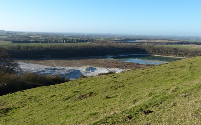
Image: © Rob Farrow Taken: 29 Dec 2013
This chalk pit for years supplied the raw material for the now defunct and disappeared Pitstone Cement Works. Taken from the western flank of Pitstone Hill on the Ridgeway LDP as it emerges from the wooded Aldbury Nowers. I believe these flooded lagoons have been used for many years as an impromptu and somewhat risky lido.
Images are licensed for reuse under creativecommons.org/licenses/by-sa/2.0
Image Location
Latitude
51.818729
Longitude
-0.631423