Boggart Hole Clough, Manchester
Introduction
The photograph on this page of Boggart Hole Clough, Manchester by Tricia Neal as part of the Geograph project.
The Geograph project started in 2005 with the aim of publishing, organising and preserving representative images for every square kilometre of Great Britain, Ireland and the Isle of Man.

There are currently over 7.5m images from over 14,400 individuals and you can help contribute to the project by visiting https://www.geograph.org.uk
Boggart Hole Clough, Manchester
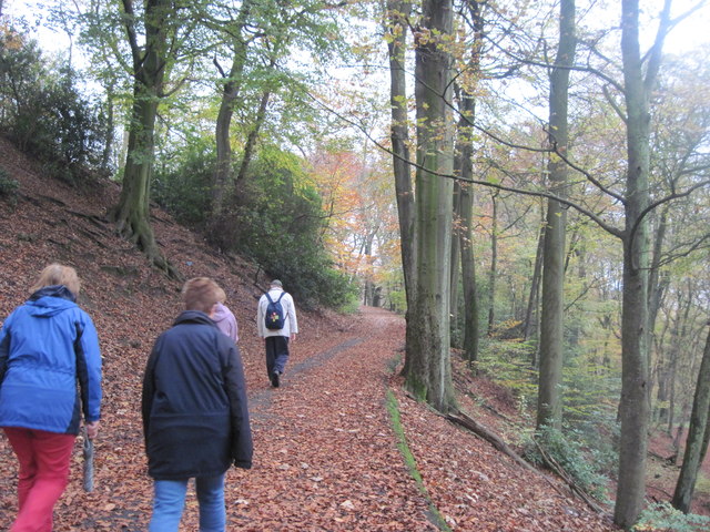
Image: © Tricia Neal Taken: 8 Nov 2011
Most Tuesday afternoons I go for a "health walk" with about 20 others, through Boggart Hole Clough. After a while we take a short rest, and then the most energetic climb this path through the trees. I believe it is Lewis Approach (leading to the David Lewis Recreation Ground) but owing to its steepness, we call it Cardiac Hill!
Images are licensed for reuse under creativecommons.org/licenses/by-sa/2.0
Image Location
Latitude
53.518809
Longitude
-2.209599