Lindston Loch
Introduction
The photograph on this page of Lindston Loch by Mary and Angus Hogg as part of the Geograph project.
The Geograph project started in 2005 with the aim of publishing, organising and preserving representative images for every square kilometre of Great Britain, Ireland and the Isle of Man.

There are currently over 7.5m images from over 14,400 individuals and you can help contribute to the project by visiting https://www.geograph.org.uk
Lindston Loch
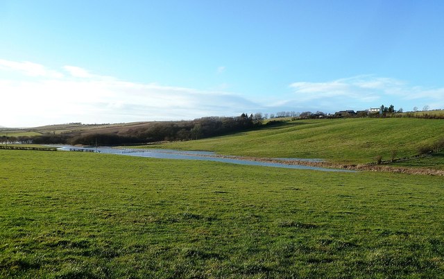
Image: © Mary and Angus Hogg Taken: 31 Dec 2013
Lindston Loch has been extended after a period of heavy winter rainfall. For a dry view, see Image Lindston Farm is shown on the skyline, perched on top of a drumlin from the last Ice Age.
Images are licensed for reuse under creativecommons.org/licenses/by-sa/2.0
Image Location
Latitude
55.413848
Longitude
-4.569843