Laigh Woodston View
Introduction
The photograph on this page of Laigh Woodston View by Mary and Angus Hogg as part of the Geograph project.
The Geograph project started in 2005 with the aim of publishing, organising and preserving representative images for every square kilometre of Great Britain, Ireland and the Isle of Man.

There are currently over 7.5m images from over 14,400 individuals and you can help contribute to the project by visiting https://www.geograph.org.uk
Laigh Woodston View
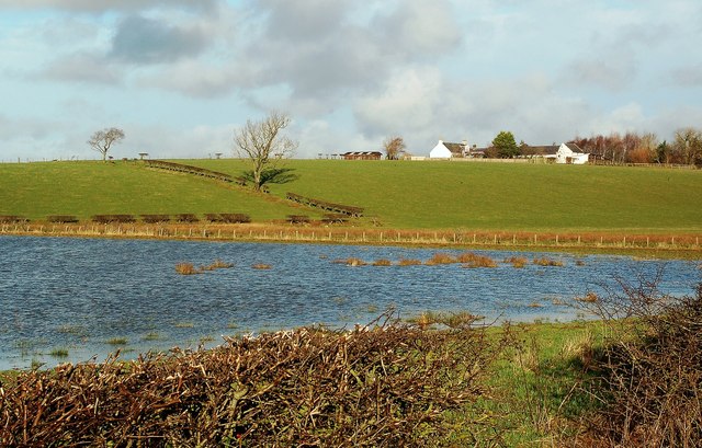
Image: © Mary and Angus Hogg Taken: 31 Dec 2013
Looking across the flooded fields at Blairbowie, near Maybole, towards Laigh Woodston farm. The buildings lie on a drumlin, deposited here during the last glaciation. The low ground was the former course of the combined rivers Doon and Girvan. For a dry view, see Image
Images are licensed for reuse under creativecommons.org/licenses/by-sa/2.0
Image Location
Latitude
55.368343
Longitude
-4.642491