Former Newcastle City Council Depot, Walbottle Road
Introduction
The photograph on this page of Former Newcastle City Council Depot, Walbottle Road by Andrew Curtis as part of the Geograph project.
The Geograph project started in 2005 with the aim of publishing, organising and preserving representative images for every square kilometre of Great Britain, Ireland and the Isle of Man.

There are currently over 7.5m images from over 14,400 individuals and you can help contribute to the project by visiting https://www.geograph.org.uk
Former Newcastle City Council Depot, Walbottle Road
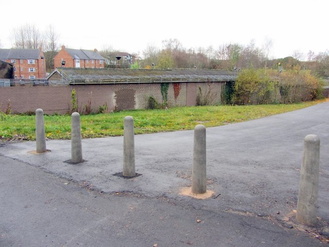
Image: © Andrew Curtis Taken: 1 Dec 2013
Planning permission was being sought for housing development on this site in 2006. Houses would have been grouped around the electricity substation Image Serious flooding of the New Burn culvert close to here in 2012 has probably made further development in this area difficult.
Images are licensed for reuse under creativecommons.org/licenses/by-sa/2.0
Image Location


Leaflet Map data © OpenStreetMap
Latitude
54.986602
Longitude
-1.737592