Cycle path by Pant-yr-awel and Lewistown
Introduction
The photograph on this page of Cycle path by Pant-yr-awel and Lewistown by eswales as part of the Geograph project.
The Geograph project started in 2005 with the aim of publishing, organising and preserving representative images for every square kilometre of Great Britain, Ireland and the Isle of Man.

There are currently over 7.5m images from over 14,400 individuals and you can help contribute to the project by visiting https://www.geograph.org.uk
Cycle path by Pant-yr-awel and Lewistown
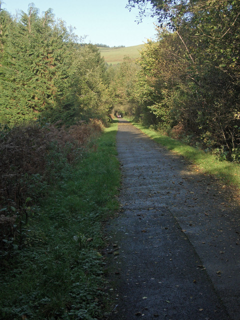
Image: © eswales Taken: 25 Oct 2013
A long, straight section of the Ogmore Valley’s path for cyclists and walkers which follows the course of a dismantled railway line. Here, north of Blackmill the path is Route 883 of the National Cycle Network.
Images are licensed for reuse under creativecommons.org/licenses/by-sa/2.0
Image Location
Latitude
51.580641
Longitude
-3.541004