North Ealing station
Introduction
The photograph on this page of North Ealing station by Ben Brooksbank as part of the Geograph project.
The Geograph project started in 2005 with the aim of publishing, organising and preserving representative images for every square kilometre of Great Britain, Ireland and the Isle of Man.

There are currently over 7.5m images from over 14,400 individuals and you can help contribute to the project by visiting https://www.geograph.org.uk
North Ealing station
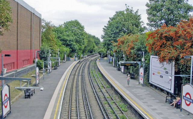
Image: © Ben Brooksbank Taken: 18 Aug 2009
View NE, towards Rayners Lane and Uxbridge: London Underground Piccadilly Line, originally Metropolitan-District Railway. (See also Image]).
Images are licensed for reuse under creativecommons.org/licenses/by-sa/2.0
Image Location
Latitude
51.517502
Longitude
-0.288796