Coffin Walk near Wilne Cross
Introduction
The photograph on this page of Coffin Walk near Wilne Cross by Jonathan Clitheroe as part of the Geograph project.
The Geograph project started in 2005 with the aim of publishing, organising and preserving representative images for every square kilometre of Great Britain, Ireland and the Isle of Man.

There are currently over 7.5m images from over 14,400 individuals and you can help contribute to the project by visiting https://www.geograph.org.uk
Coffin Walk near Wilne Cross
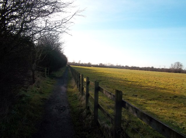
Image: © Jonathan Clitheroe Taken: 29 Dec 2013
Bridleway and former funeral procession route between Church Wilne and Breaston, the latter village having had to wait until 1824 to acquire its own church for burials. Paths which served this historical purpose also exist elsewhere in Derbyshire - for example here http://www.geograph.org.uk/photo/1733353 between Castleton and Edale and here http://www.geograph.org.uk/photo/936936 between Lullington and Coton-in-the-Elms.
Images are licensed for reuse under creativecommons.org/licenses/by-sa/2.0
Image Location
Latitude
52.88869
Longitude
-1.329223