Path to Oldfield Road
Introduction
The photograph on this page of Path to Oldfield Road by Peter Holmes as part of the Geograph project.
The Geograph project started in 2005 with the aim of publishing, organising and preserving representative images for every square kilometre of Great Britain, Ireland and the Isle of Man.

There are currently over 7.5m images from over 14,400 individuals and you can help contribute to the project by visiting https://www.geograph.org.uk
Path to Oldfield Road
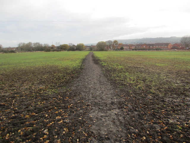
Image: © Peter Holmes Taken: 7 Dec 2013
Public footpath West15 crossing field. The Westbury White Horse can be viewed in the distance, located on the edge of Bratton Downs on the escarpment of Salisbury Plain.
Images are licensed for reuse under creativecommons.org/licenses/by-sa/2.0
Image Location
Latitude
51.262757
Longitude
-2.199737