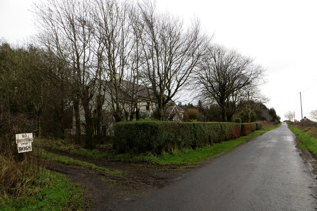
Old Ballybracken Road
Introduction
The photograph on this page of Old Ballybracken Road by Robert Ashby as part of the Geograph project.
The Geograph project started in 2005 with the aim of publishing, organising and preserving representative images for every square kilometre of Great Britain, Ireland and the Isle of Man.
There are currently over 7.5m images from over 14,400 individuals and you can help contribute to the project by visiting https://www.geograph.org.uk

Image: © Robert Ashby Taken: 29 Dec 2013
A cunningly camouflaged farmhouse on the Old Ballybracken Road near Doagh. Whilst browsing my O.S. map I noticed that the only access to J 2394 was at this point where the road just clips the bottom south-west corner for about 100 yards or so. This might explain why that rarest of Geograph prizes in this otherwise well-covered part of the country, an unclaimed First Visitor point, was up to now overlooked. The conveniently sited farmhouse gave me an accurate fix on the exact location. One of two Firsts I managed to bag on this trip, the other being in Tardree Forest a couple of miles to the west at J 1894, another otherwise well-covered area. Made the hilly and chilly winter cycle-ride worthwhile.

