Preparing the land
Introduction
The photograph on this page of Preparing the land by Keith Evans as part of the Geograph project.
The Geograph project started in 2005 with the aim of publishing, organising and preserving representative images for every square kilometre of Great Britain, Ireland and the Isle of Man.

There are currently over 7.5m images from over 14,400 individuals and you can help contribute to the project by visiting https://www.geograph.org.uk
Preparing the land
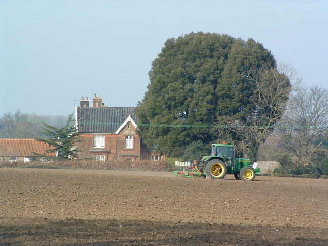
Image: © Keith Evans Taken: 27 Mar 2007
Preparing the lane ready for a summer crop; Manor Farm in the background near to Quidenham Norfolk.
Images are licensed for reuse under creativecommons.org/licenses/by-sa/2.0
Image Location
Latitude
52.459124
Longitude
0.979725