Tree-lined road to Llechryd
Introduction
The photograph on this page of Tree-lined road to Llechryd by Martyn Harries as part of the Geograph project.
The Geograph project started in 2005 with the aim of publishing, organising and preserving representative images for every square kilometre of Great Britain, Ireland and the Isle of Man.

There are currently over 7.5m images from over 14,400 individuals and you can help contribute to the project by visiting https://www.geograph.org.uk
Tree-lined road to Llechryd
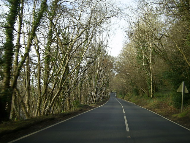
Image: © Martyn Harries Taken: 17 Dec 2013
This section of the tree-lined road to Llechryd near Llandygwydd, is just within the grid square. The Afon Teifi (River Teifi) runs alongside this section of the A484.
Images are licensed for reuse under creativecommons.org/licenses/by-sa/2.0
Image Location
Latitude
52.058177
Longitude
-4.567855