Path to Bryn Bevan houses, Newport
Introduction
The photograph on this page of Path to Bryn Bevan houses, Newport by Jaggery as part of the Geograph project.
The Geograph project started in 2005 with the aim of publishing, organising and preserving representative images for every square kilometre of Great Britain, Ireland and the Isle of Man.

There are currently over 7.5m images from over 14,400 individuals and you can help contribute to the project by visiting https://www.geograph.org.uk
Path to Bryn Bevan houses, Newport
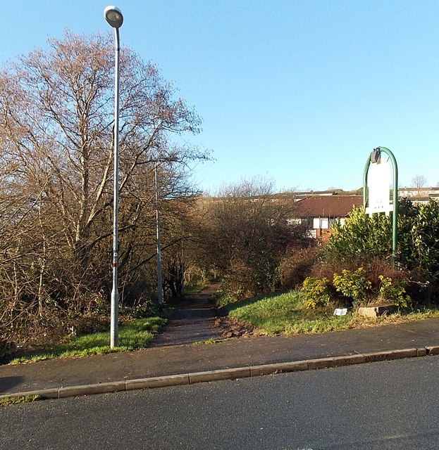
Image: © Jaggery Taken: 28 Dec 2013
Viewed across Brynglas Road. The path leads to houses in the SW corner of Bryn Bevan. The course of the path is over the top of the M4 motorway Brynglas Tunnels near their western portals.
Images are licensed for reuse under creativecommons.org/licenses/by-sa/2.0
Image Location
Latitude
51.602877
Longitude
-2.998399