Georgian houses at the edge of Frenchay Common
Introduction
The photograph on this page of Georgian houses at the edge of Frenchay Common by Jaggery as part of the Geograph project.
The Geograph project started in 2005 with the aim of publishing, organising and preserving representative images for every square kilometre of Great Britain, Ireland and the Isle of Man.

There are currently over 7.5m images from over 14,400 individuals and you can help contribute to the project by visiting https://www.geograph.org.uk
Georgian houses at the edge of Frenchay Common
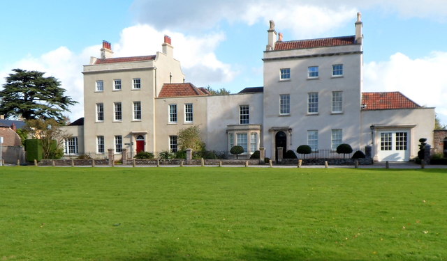
Image: © Jaggery Taken: 18 Oct 2012
Part of the Frenchay Conservation Area, which contains several 18th and early 19th century buildings.
Images are licensed for reuse under creativecommons.org/licenses/by-sa/2.0
Image Location
Latitude
51.495738
Longitude
-2.519679