Gerrards Cross: New Pond
Introduction
The photograph on this page of Gerrards Cross: New Pond by Nigel Cox as part of the Geograph project.
The Geograph project started in 2005 with the aim of publishing, organising and preserving representative images for every square kilometre of Great Britain, Ireland and the Isle of Man.

There are currently over 7.5m images from over 14,400 individuals and you can help contribute to the project by visiting https://www.geograph.org.uk
Gerrards Cross: New Pond
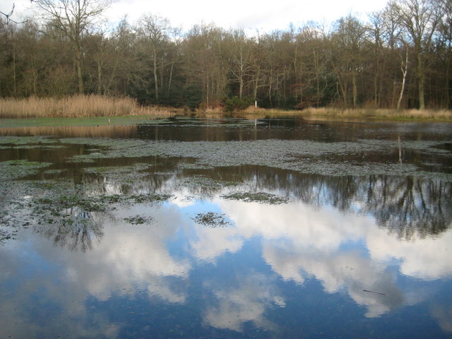
Image: © Nigel Cox Taken: 22 Dec 2013
The pond is on Gerrards Cross Common next to the A40 Oxford Road. A 1999 ecology report can be found here http://www.pondconservation.org.uk/Resources/Pond%20Conservation/Documents/PDF/Gerrards%20Cross%20report%201999.pdf
Images are licensed for reuse under creativecommons.org/licenses/by-sa/2.0
Image Location
Latitude
51.584534
Longitude
-0.559661