Path to Undercliff, Rottingdean
Introduction
The photograph on this page of Path to Undercliff, Rottingdean by Paul Gillett as part of the Geograph project.
The Geograph project started in 2005 with the aim of publishing, organising and preserving representative images for every square kilometre of Great Britain, Ireland and the Isle of Man.

There are currently over 7.5m images from over 14,400 individuals and you can help contribute to the project by visiting https://www.geograph.org.uk
Path to Undercliff, Rottingdean
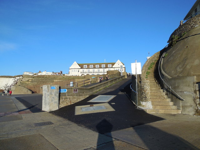
Image: © Paul Gillett Taken: 26 Dec 2013
With the White Horse Hotel https://www.oldenglishinns.co.uk/our-locations/the-white-horse-hotel-rottingdean?gclid=CNmZqOel07sCFQkEwwodtEMAjQ at the top of the path.
Images are licensed for reuse under creativecommons.org/licenses/by-sa/2.0
Image Location
Latitude
50.802327
Longitude
-0.056732