Gerrards Cross: Footpath to Hedgerley Green (2)
Introduction
The photograph on this page of Gerrards Cross: Footpath to Hedgerley Green (2) by Nigel Cox as part of the Geograph project.
The Geograph project started in 2005 with the aim of publishing, organising and preserving representative images for every square kilometre of Great Britain, Ireland and the Isle of Man.

There are currently over 7.5m images from over 14,400 individuals and you can help contribute to the project by visiting https://www.geograph.org.uk
Gerrards Cross: Footpath to Hedgerley Green (2)
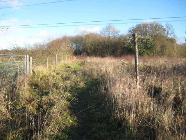
Image: © Nigel Cox Taken: 22 Dec 2013
This footpath can be traced on the old Victorian Ordnance Survey map of 1875, but the whole area today would be unrecognisable to anyone from then with the building of the nearby M40 Motorway and the massive sand and gravel workings in the area. The view here is looking in the direction of Gerrards Cross where the path eventually runs around the north side of Bulstrode Manor Farm.
Images are licensed for reuse under creativecommons.org/licenses/by-sa/2.0
Image Location
Latitude
51.584517
Longitude
-0.587808