Fulmer: B416 Windsor Road
Introduction
The photograph on this page of Fulmer: B416 Windsor Road by Nigel Cox as part of the Geograph project.
The Geograph project started in 2005 with the aim of publishing, organising and preserving representative images for every square kilometre of Great Britain, Ireland and the Isle of Man.

There are currently over 7.5m images from over 14,400 individuals and you can help contribute to the project by visiting https://www.geograph.org.uk
Fulmer: B416 Windsor Road
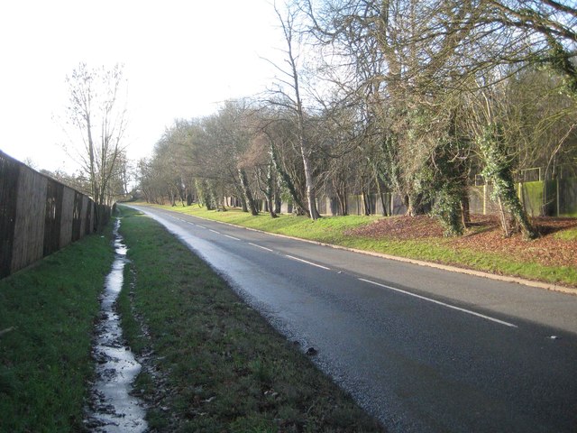
Image: © Nigel Cox Taken: 22 Dec 2013
This section of the B416 once formed part of the A332. The Civil Parish boundary, between Fulmer to the left and Hedgerley to the right, runs down the middle of the road. Mounthill Wood is beyond the road to the right.
Images are licensed for reuse under creativecommons.org/licenses/by-sa/2.0
Image Location
Latitude
51.570744
Longitude
-0.579144