Dundurcas Kirk
Introduction
The photograph on this page of Dundurcas Kirk by Anne Burgess as part of the Geograph project.
The Geograph project started in 2005 with the aim of publishing, organising and preserving representative images for every square kilometre of Great Britain, Ireland and the Isle of Man.

There are currently over 7.5m images from over 14,400 individuals and you can help contribute to the project by visiting https://www.geograph.org.uk
Dundurcas Kirk
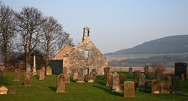
Image: © Anne Burgess Taken: 27 Mar 2007
The parish of Dundurcas was partitioned in the 18th century; part was added to Boharm and part to Rothes.
Images are licensed for reuse under creativecommons.org/licenses/by-sa/2.0
Image Location


Leaflet Map data © OpenStreetMap
Latitude
57.544079
Longitude
-3.166902