Cophall Lane, East Dean
Introduction
The photograph on this page of Cophall Lane, East Dean by Simon Carey as part of the Geograph project.
The Geograph project started in 2005 with the aim of publishing, organising and preserving representative images for every square kilometre of Great Britain, Ireland and the Isle of Man.

There are currently over 7.5m images from over 14,400 individuals and you can help contribute to the project by visiting https://www.geograph.org.uk
Cophall Lane, East Dean
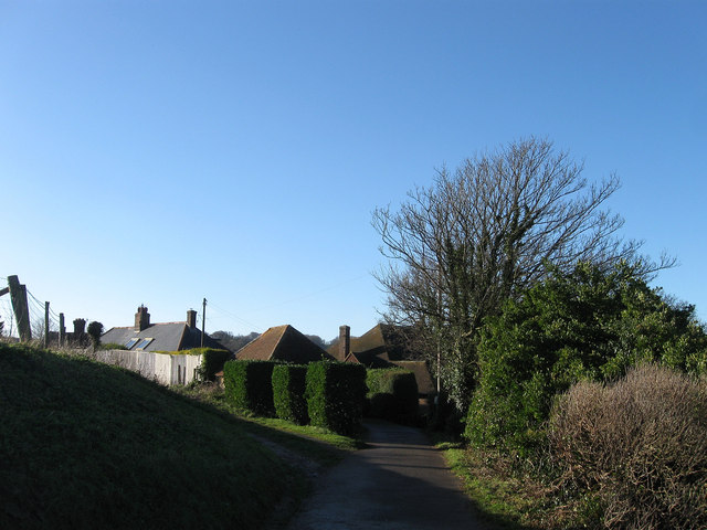
Image: © Simon Carey Taken: 26 Dec 2013
A private dead end lane leading to a number of houses along the lower slopes of Eastdean Down on the eastern side of the village. The house to the left is Old Barn whilst to the right is Bremlyngs. The latter was built in the 1970s on the site of Cophall a building marked on East Dean's 1844 tithe map but was in ruins by the 1875 and 1899 OS maps before disappearing altogether. Bremlyng is the old name of an area of downland to the east now part of Bramble Bottom. The former was originally an outbuilding of Cop Hall and has now been converted into a residence.
Images are licensed for reuse under creativecommons.org/licenses/by-sa/2.0
Image Location
Latitude
50.759808
Longitude
0.211173