Top o'th Fields 1
Introduction
The photograph on this page of Top o'th Fields 1 by Jonathan Wilkins as part of the Geograph project.
The Geograph project started in 2005 with the aim of publishing, organising and preserving representative images for every square kilometre of Great Britain, Ireland and the Isle of Man.

There are currently over 7.5m images from over 14,400 individuals and you can help contribute to the project by visiting https://www.geograph.org.uk
Top o'th Fields 1
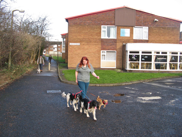
Image: © Jonathan Wilkins Taken: 25 Dec 2013
A popular walking route between the 'Trees' estate and Fountain place shopping precinct runs along the boundary of the golf course. On the now traditional mid-day walk, the image was taken at 12:04h.
Images are licensed for reuse under creativecommons.org/licenses/by-sa/2.0
Image Location
Latitude
53.542091
Longitude
-2.293766