Track in Toton Fields Nature reserve
Introduction
The photograph on this page of Track in Toton Fields Nature reserve by David Lally as part of the Geograph project.
The Geograph project started in 2005 with the aim of publishing, organising and preserving representative images for every square kilometre of Great Britain, Ireland and the Isle of Man.

There are currently over 7.5m images from over 14,400 individuals and you can help contribute to the project by visiting https://www.geograph.org.uk
Track in Toton Fields Nature reserve
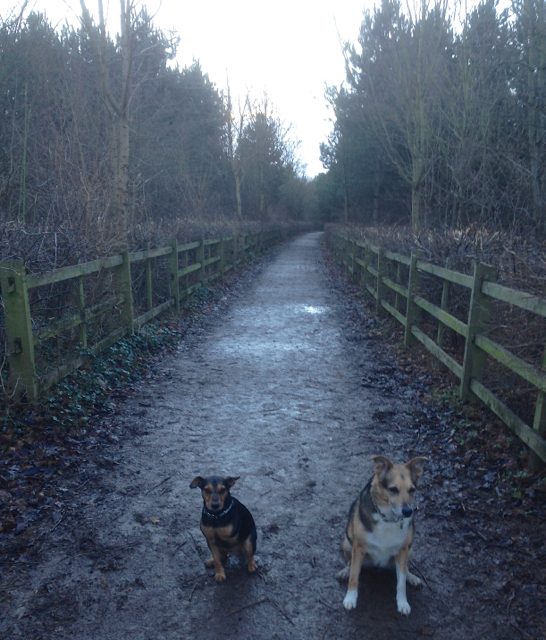
Image: © David Lally Taken: 27 Dec 2013
The description from the Broxtowe Borough web site: "This reserve takes in parts of the Manor Farm and Banks Road Open Spaces, with the main access being via the Greenwood Community Centre off Banks Road. The site lies alongside the River Erewash with associated wetland species, wet grassland and young woodland." http://www.broxtowe.gov.uk/index.aspx?articleid=4385
Images are licensed for reuse under creativecommons.org/licenses/by-sa/2.0
Image Location
Latitude
52.907576
Longitude
-1.269605