The A390 on the eastern edge of St Austell
Introduction
The photograph on this page of The A390 on the eastern edge of St Austell by Tony Atkin as part of the Geograph project.
The Geograph project started in 2005 with the aim of publishing, organising and preserving representative images for every square kilometre of Great Britain, Ireland and the Isle of Man.

There are currently over 7.5m images from over 14,400 individuals and you can help contribute to the project by visiting https://www.geograph.org.uk
The A390 on the eastern edge of St Austell
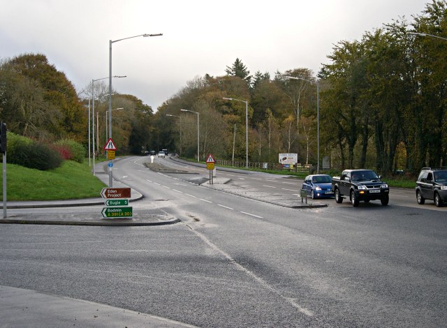
Image: © Tony Atkin Taken: 12 Nov 2005
This main road runs through the southern side of St Austell and gets extremely busy in the rush hour.
Images are licensed for reuse under creativecommons.org/licenses/by-sa/2.0
Image Location


Leaflet Map data © OpenStreetMap
Latitude
50.343518
Longitude
-4.74786