St Austell: level crossing at Molinnis
Introduction
The photograph on this page of St Austell: level crossing at Molinnis by Martin Bodman as part of the Geograph project.
The Geograph project started in 2005 with the aim of publishing, organising and preserving representative images for every square kilometre of Great Britain, Ireland and the Isle of Man.

There are currently over 7.5m images from over 14,400 individuals and you can help contribute to the project by visiting https://www.geograph.org.uk
St Austell: level crossing at Molinnis
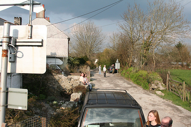
Image: © Martin Bodman Taken: 26 Mar 2007
Seen from an excursion train on the Newquay branch, looking north east near Bugle Station
Images are licensed for reuse under creativecommons.org/licenses/by-sa/2.0
Image Location
Latitude
50.399371
Longitude
-4.78965