Llanbadarn Road
Introduction
The photograph on this page of Llanbadarn Road by Ian Capper as part of the Geograph project.
The Geograph project started in 2005 with the aim of publishing, organising and preserving representative images for every square kilometre of Great Britain, Ireland and the Isle of Man.

There are currently over 7.5m images from over 14,400 individuals and you can help contribute to the project by visiting https://www.geograph.org.uk
Llanbadarn Road
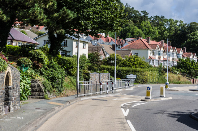
Image: © Ian Capper Taken: 31 Aug 2013
Llanbadarn Road by the roundabout for the access road to Ysgol Gyfun Gymunedol Penweddig. On the left is the water source in Image In the background are the houses in Image
Images are licensed for reuse under creativecommons.org/licenses/by-sa/2.0
Image Location
Latitude
52.411127
Longitude
-4.06667