Pandy Bowls Club bowling green
Introduction
The photograph on this page of Pandy Bowls Club bowling green by Jaggery as part of the Geograph project.
The Geograph project started in 2005 with the aim of publishing, organising and preserving representative images for every square kilometre of Great Britain, Ireland and the Isle of Man.

There are currently over 7.5m images from over 14,400 individuals and you can help contribute to the project by visiting https://www.geograph.org.uk
Pandy Bowls Club bowling green
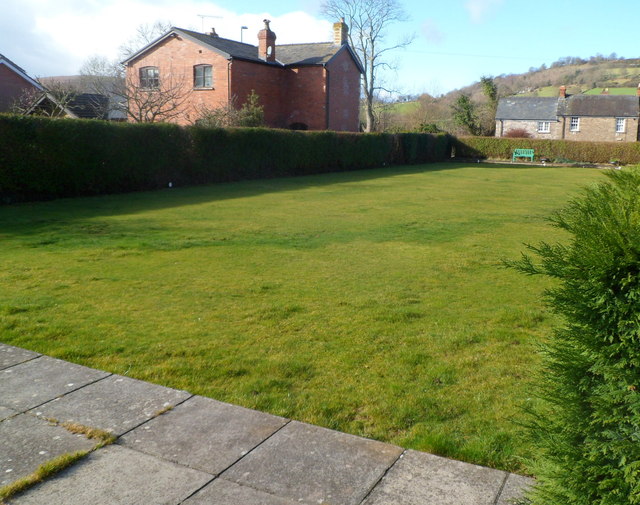
Image: © Jaggery Taken: 19 Feb 2012
Alongside the village hall http://www.geograph.org.uk/photo/3790170 in Wern Gifford.
Images are licensed for reuse under creativecommons.org/licenses/by-sa/2.0
Image Location
Latitude
51.886867
Longitude
-2.971988