Lyndale Road
Introduction
The photograph on this page of Lyndale Road by E Gammie as part of the Geograph project.
The Geograph project started in 2005 with the aim of publishing, organising and preserving representative images for every square kilometre of Great Britain, Ireland and the Isle of Man.

There are currently over 7.5m images from over 14,400 individuals and you can help contribute to the project by visiting https://www.geograph.org.uk
Lyndale Road
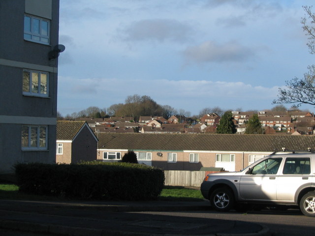
Image: © E Gammie Taken: 25 Dec 2013
Looking beyond the flats and houses by Lyndale Road towards the trees near the top of Buckingham Rise.
Images are licensed for reuse under creativecommons.org/licenses/by-sa/2.0
Image Location
Latitude
52.409527
Longitude
-1.55776