St Christopher's church
Introduction
The photograph on this page of St Christopher's church by E Gammie as part of the Geograph project.
The Geograph project started in 2005 with the aim of publishing, organising and preserving representative images for every square kilometre of Great Britain, Ireland and the Isle of Man.

There are currently over 7.5m images from over 14,400 individuals and you can help contribute to the project by visiting https://www.geograph.org.uk
St Christopher's church
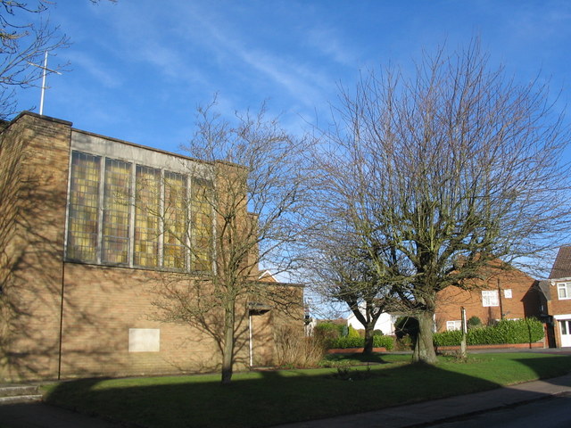
Image: © E Gammie Taken: 25 Dec 2013
The church stands at the top of Buckingham Rise at its junction with Winsford Avenue. Built in the 1950s/60s with the rest of Allesley Park estate.
Images are licensed for reuse under creativecommons.org/licenses/by-sa/2.0
Image Location
Latitude
52.414941
Longitude
-1.563146