Tilbury Mudflats
Introduction
The photograph on this page of Tilbury Mudflats by Stephen Craven as part of the Geograph project.
The Geograph project started in 2005 with the aim of publishing, organising and preserving representative images for every square kilometre of Great Britain, Ireland and the Isle of Man.

There are currently over 7.5m images from over 14,400 individuals and you can help contribute to the project by visiting https://www.geograph.org.uk
Tilbury Mudflats
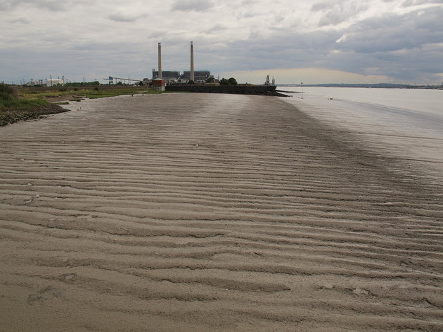
Image: © Stephen Craven Taken: 10 Aug 2013
A very gently sloping bed to the north side of the Thames at Tilbury, with the power station in the distance. At this time the power station was non-operational, having closed as a coal-fired station, been converted to biomass operation and awaiting operating consent. Link: http://www.rwe.com/web/cms/en/1763234/rwe-npower/about-us/our-businesses/power-generation/tilbury/tilbury-biomass-power-station/
Images are licensed for reuse under creativecommons.org/licenses/by-sa/2.0
Image Location
Latitude
51.451773
Longitude
0.367369