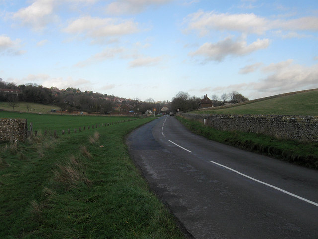
Gilberts Drive
Introduction
The photograph on this page of Gilberts Drive by Simon Carey as part of the Geograph project.
The Geograph project started in 2005 with the aim of publishing, organising and preserving representative images for every square kilometre of Great Britain, Ireland and the Isle of Man.
There are currently over 7.5m images from over 14,400 individuals and you can help contribute to the project by visiting https://www.geograph.org.uk

Image: © Simon Carey Taken: 20 Dec 2013
The name of the road that links Birling Manor to the A259. The road between the latter and Birling Gap was laid out towards the end of the 19th century and named after the local landowning family. The section between the junction with Lower Street and Birling manor follows the old track from the village, however, that north of the former to the A259 was newly made to replace access through the narrow streets of East Dean. South of the manor the road to Birling Gap replaced an old track that ran to the east. This view looks towards the southern edge of the village with Image to the left and Image beyond the flint wall to the right.

